Off-Route IFR Altitudes: Why OROCA Isn’t Enough
|
Getting your Trinity Audio player ready...
|
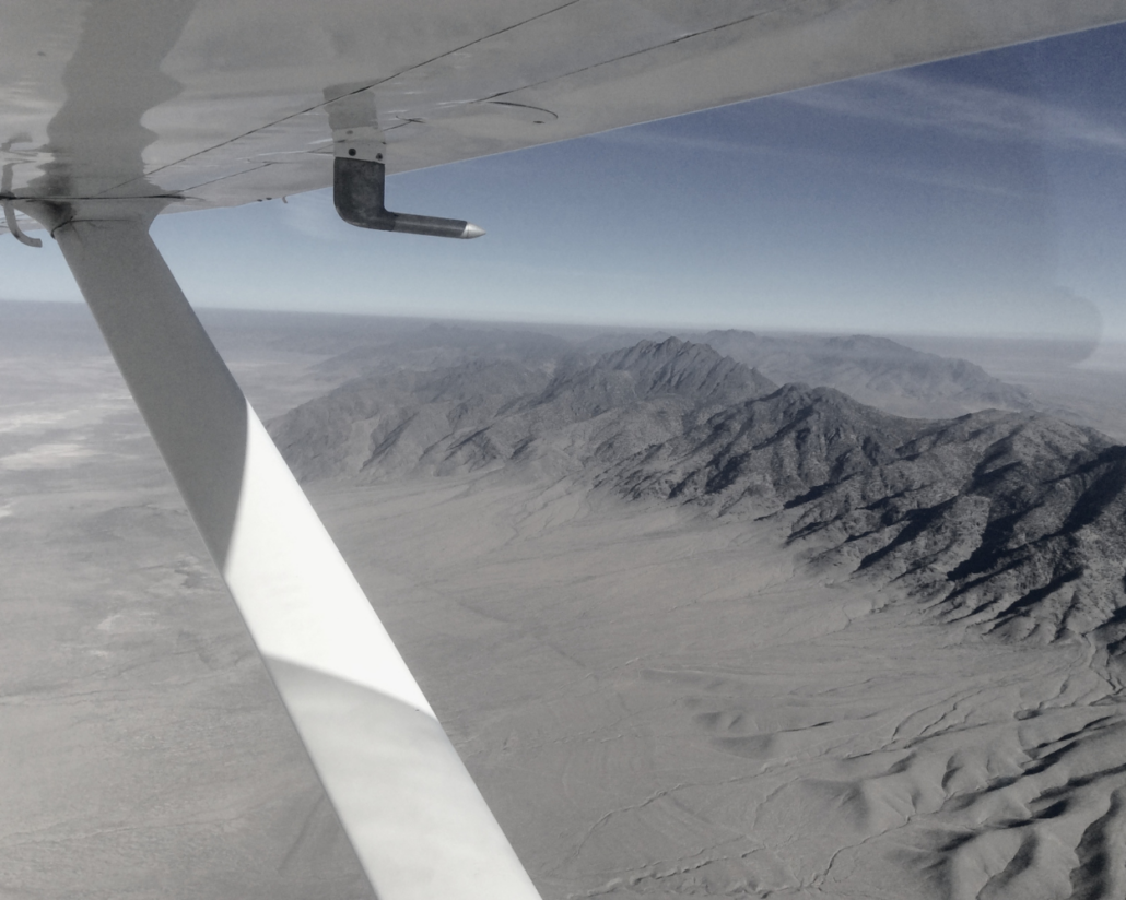
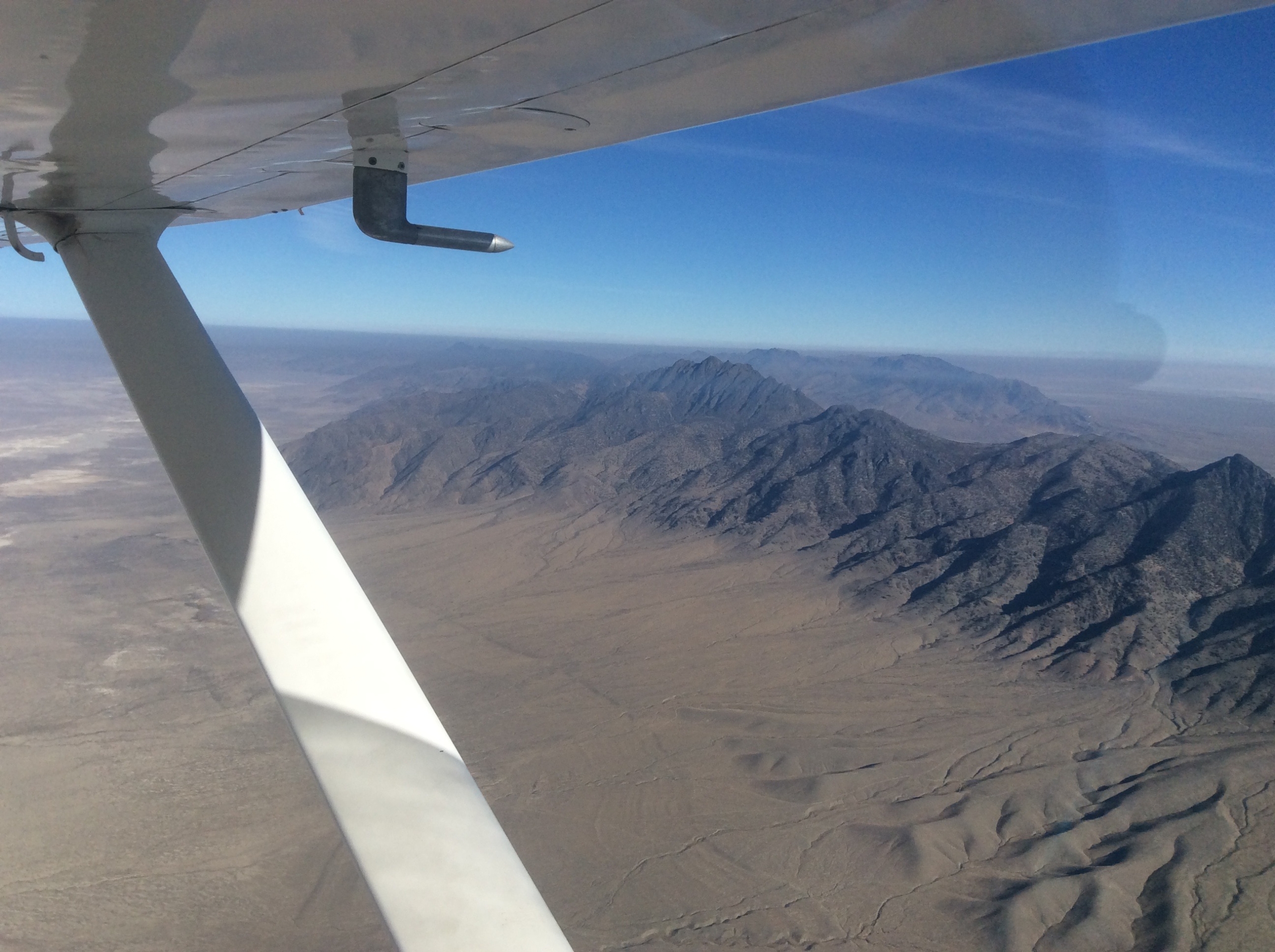
 I recently had an instrument student ask me about planning an off-route flight in a mountainous area. They knew that the IFR Enroute Low Altitude Charts included something called an Off-Route Obstruction Clearance Altitude (OROCA) and thought that would need to define their minimum altitude for the flight. The problem was that the OROCAs that would be passed through on the flight exceeded the climb capability of the training airplane. An additional question regarded whether they would need to climb to that altitude in the event of a communications failure, even if cleared for a lower altitude by ATC.
It’s a situational awareness tool—not a clearance you can rely on for obstacle protection under 14 CFR 91.177.
This was something that generally isn’t a problem in the areas where I normally fly, but this scenario did present more of a challenge. I set out to explain the considerations which are presented below (emphasis added where needed).
What Is an OROCA?
First let’s take a look at what an OROCA actually is. According to the latest definition found in the Pilot Controller Glossary:
• 1,000 ft obstacle clearance (non-mountainous)
• 2,000 ft in mountainous areas
• Broad situational awareness
What it does not provide:
• Guaranteed nav signal coverage
• ATC surveillance or communications
• A regulatory minimum IFR altitude
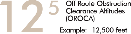
OFF−ROUTE OBSTRUCTION CLEARANCE ALTITUDE (OROCA)− A published altitude which provides terrain and obstruction clearance with a 1,000 foot buffer in non−mountainous areas and a 2,000 foot buffer in designated mountainous areas within the United States, and a 3,000 foot buffer outside the US ADIZ. These altitudes are not assessed for NAVAID signal coverage, air traffic control surveillance, or communications coverage, and are published for general situational awareness, flight planning, and in−flight contingency use.
The FAA Instrument Procedures Handbook also notes:
OROCAs are intended primarily as a pilot tool for emergencies and SA. OROCAs depicted on en route charts do not provide the pilot with an acceptable altitude for terrain and obstruction clearance for the purposes of off-route, random RNAV direct flights in either controlled or uncontrolled airspace. OROCAs are not subject to the same scrutiny as MEAs, minimum vectoring altitude (MVAs), MOCAs, and other minimum IFR altitudes. Since they do not undergo the same obstruction evaluation, airport airspace analysis procedures, or flight inspection, they cannot provide the same level of confidence as the other minimum IFR altitudes.
How Does an OROCA Apply to IFR Operations?
The minimum altitudes for IFR operations are covered in 14 CFR 91.177:
 (a) Operation of aircraft at minimum altitudes. Except when necessary for takeoff or landing, or unless otherwise authorized by the FAA, no person may operate an aircraft under IFR below—
(1) The applicable minimum altitudes prescribed in parts 95 and 97 of this chapter. However, if both a MEA and a MOCA are prescribed for a particular route or route segment, a person may operate an aircraft below the MEA down to, but not below, the MOCA, provided the applicable navigation signals are available. For aircraft using VOR for navigation, this applies only when the aircraft is within 22 nautical miles of that VOR (based on the reasonable estimate by the pilot operating the aircraft of that distance); or
(2) If no applicable minimum altitude is prescribed in parts 95 and 97 of this chapter, then—
(i) In the case of operations over an area designated as a mountainous area in part 95 of this chapter, an altitude of 2,000 feet above the highest obstacle within a horizontal distance of 4 nautical miles from the course to be flown; or
(ii) In any other case, an altitude of 1,000 feet above the highest obstacle within a horizontal distance of 4 nautical miles from the course to be flown.
Looking at the regulations in Part 95 and the OROCA descriptions, OROCAs are not a regulatory altitude They are not considered a minimum IFR altitude (they can help, but they don’t meet the 4 NM criteria specified in the regulation). They are on the chart to provide situational awareness to pilots. As noted in 14 CFR 91.177(a)(2), the pilot is responsible for determining the minimum IFR altitude for their off-route flight. ATC could clear you for a lower altitude than the OROCAs if you as the PIC have determined a suitable and legal minimum IFR altitude for your route of flight.
Part 95 does define designated mountainous areas. Use this to determine the designation for your route of flight. Next, look at your planned route of flight including 4 NM on either side of your route, determine the height of the terrain and obstacles using a current sectional chart & NOTAMs, and add 1,000 feet or 2,000 feet, as appropriate, to the highest point to determine your minimum IFR altitude for that segment. This will become the legal minimum IFR altitude that you need to use for 14 CFR 91.185(c)(2)(ii). From a risk management and legal standpoint, this should be the lowest altitude which you should file as well. If you try to file a lower altitude, ATC may reject it. If it slips through, it could put you and your airplane at risk if you fly too low. If your airplane isn’t capable of maintaining the higher altitude, you will need to find another route.
If only a portion of your flight requires the higher altitude, separate the longer flight into segments and analyze each segment individually. From a flight plan standpoint, file it for your initial altitude. Request new altitudes from ATC while en route. Make your request before it becomes critical to give the controller time to coordinate the new altitude on their end.
Another tool that may be available for determining the height of terrain and obstacles within 4 NM of your route is your EFB app. Availability will depend on the app that you are using and the subscription level that you have. Check with your EFB developer’s website to determine what tools they have and how you can obtain and use them.
What If I Have a Communications Failure?
When it comes to a communications failure, the altitude that you will need to fly is covered by 14 CFR 91.185(c)(2):
(2) Altitude. At the highest of the following altitudes or flight levels for the route segment being flown:
(i) The altitude or flight level assigned in the last ATC clearance received;
(ii) The minimum altitude (converted, if appropriate, to minimum flight level as prescribed in § 91.121(c)) for IFR operations; or
(iii) The altitude or flight level ATC has advised may be expected in a further clearance.
Remember, this is for the route segment being flown. Your calculated minimum altitude for IFR operations for that segment is what matters. You don’t have to change altitudes immediately unless your current route segment requires it.
Conclusion
OROCAs can be confusing and I have seen the topic taught incorrectly by flight instructors, especially those instructors that generally operate in the flat lands. The topic shouldn’t be that difficult, but it does take some digging in the regulations and the FAA’s guidance material.
Finally, before planning your next off-route instrument flight, take a look at AIM 5−1−6 d. for other flight plan requirements for IFR flights using GPS to navigate a random RNAV route. It can be very helpful.
Fly and stay safe!

In his role as Director of Aviation Curriculum for Sporty's, Chief Jurgens develops material which eventually becomes a part of the courseware sold through Sporty's Pilot Shop.
- Off-Route IFR Altitudes: Why OROCA Isn’t Enough - April 24, 2026
Leave a Reply
Want to join the discussion?Feel free to contribute!