
A Flight Planning Formula
|
Getting your Trinity Audio player ready...
|
Flying to a new destination is exciting, challenging, and often overwhelming – long before the engine starts. The pile of items to analyze, along with ever-changing weather forecasts, can make flight planning seem endless. Not only is it easy to miss something, risk management can get lost in the shuffle. What makes a flight “no-go” two days out might be “OK” when you’ve packed and filed. One tool to help put up guardrails well before a flight is a Standard Operating Procedure. An SOP – much like those you use for engine management and briefing approaches – is great in planning, too. Here’s one that incorporates decision-making with three key building blocks: Terrain + Weather = Time.
Terrain + Weather = Time
A simple flight planning SOP built around three key elements: identify the terrain, establish your weather limits, and allow enough time and fuel to preserve your options.
Starting Points
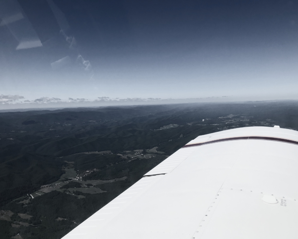
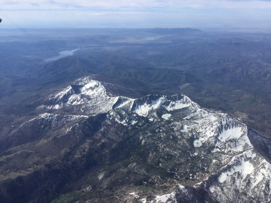
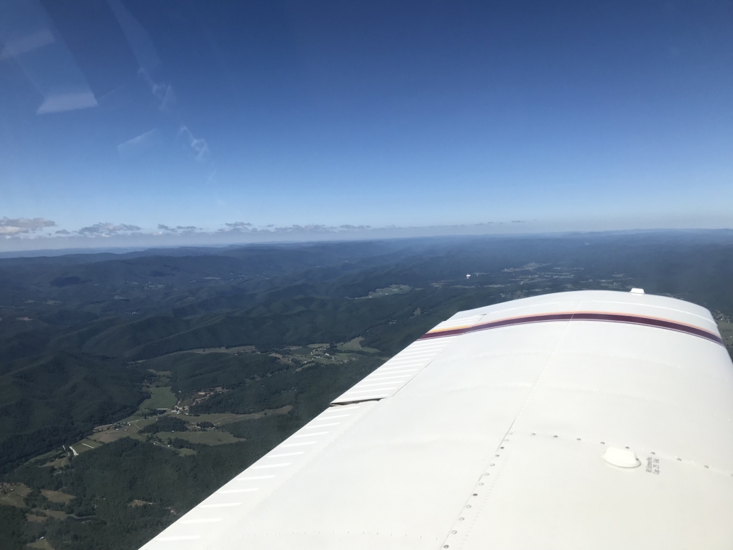
This SOP separates nature-made variables from regulatory, published items like airspace, NOTAMs and procedures – these I put on a “paperwork” planning checklist. Before that, I get the big picture with terrain and my own weather parameters. One of my favorite destinations, the Smoky Mountains of the Southeast, is a great example. Let’s look at a flight from Valparaiso, Indiana (KVPZ) to Spartanburg, South Carolina (KSPA). On your EFB, use the VFR sectional to identify the highest terrain – the Off-Route Obstruction Clearance Altitudes go as high as 9000 feet. If you’d rather stop there and go around the Smokies, great – flying south from Knoxville into Georgia will bypass most or all the higher elevations. Sectionals are best for this step as they clearly depict rising terrain (and many obstacles). Then, flip the EFB to IFR charts for fixes, minimum altitudes and airspace to refine the route.
For both sightseeing and safety, I’ll want the route to be in VMC and as high as possible. With a normally aspirated airplane and no onboard oxygen, the practical altitude block is 9,000-12,000. While it’s legal to fly above 12,500 feet for up to 30 minutes, I don’t feel well that high, so I’ll self-limit to 11,000-12,000 feet. I can thus file: 9000 feet from VPZ – CLEFT – CVG to KLOZ in London, Kentucky for a fuel stop. The second leg: LOZ – TAMPI – SOT – SUG – SPA to KSPA at 11,000. TAMPI and SOT are checkpoints to help check climb status and provide an “aim point” on the other side of the terrain – having that GPS waypoint is nice. A nice big airport, Asheville, is on the southeast side of the mountains, but there are no options in between. This is a good time to plan an alternate route you can use at any time.
Weather and Time
Weather is hard to pin down until departure day, but you can make decisions ahead of time as with terrain. If icing, convective activity, or turbulence emerge in the forecast, I will delay the flight or alter the route. Since we already decided on clear, stable VFR weather for the route, we can work on winds. When flying outside the flat, airport-laden terrain of the Midwest, I like to assume (and set as a practical limit) 20-knot headwind components and increase my minimum reserves. For winds greater than that, I’ll rework the fuel plan, or reschedule. At any rate, I’ll plan for 60 minutes’ reserve for the first leg, top off and plan 90 minutes for the second. Even with headwinds, my four-tank airplane will have two hours left when landing at Spartanburg. Other aircraft might be right on the line or not have enough, so use the extra-fuel mindset as a nudge toward planning a lower-terrain route with an available fuel stop.
My go-to weather site is aviationweather.gov, which has drop-down menus that make a good briefing checklist. The GFA maps are great for long flights as they clearly depict all trends in the US for AIRMETs/SIGMETs, fronts, winds, temperatures, clouds and more. Winds aloft forecasts give a good picture of general direction and speed a couple of days out, providing ample time to re-plan before getting in the weeds with other details. Once I get the standard weather briefing a couple hours before departure, it’s easy to compare conditions to my parameters and make any amendments.
Time and Fuel to Finish
Terrain and weather determine flight time – that’s the third big-picture planning element and is your lifeline in the form of fuel. For this essential component, consider how the terrain affects fuel planning. For an aircraft that burns six gallons and takes 40 miles to climb from KLOZ (1212 feet) to 11,000 feet, I’ll want a status check before crossing the Smokies. That’s where TAMPI makes for a good fix on the flight plan. If everything’s going as planned, continue. If not, reconsider. Even if you can get somewhere direct-to, IFR checkpoints are often found right on the way and are good reminders for checking systems, fuel and weather – all this is planned before departing.
Meanwhile, the return flight can be done the same way. If the ceilings and headwinds aren’t just as good, we’ll plan a route over lower terrain – the southern bypass we had saved for a time like this. Military and remote airspace will mean flying closer to Atlanta then aiming for Chattanooga, but that’s also a scenic route with plenty of alternates. On my last hiking trip to the mountains, it turns out I had extra time to fly as I had departed two days early to get home before freezing temperatures and rain crossed the route home and continued towards the Carolinas. I prioritized my time there with the best sightseeing, and had no hesitation in packing up early, amending the route to the south, and enjoying a whole new flight on the way.
Planning Takeaways
- Starting with terrain can save much planning time. Decide early on if a more direct route over the highest ground, or one that flies around it, is best. Airspace, climb/cruise altitude windows, available airports, and weather requirements will fall into place.
- Save the most conservative route to your destination, even if you don’t use it. If you find the weather changes your mind about plan A, no problem – plan B is ready to go. This can prevent rushing to re-plan a flight, or pressing on into an uncomfortable situation.
- Add in time margins to accommodate an extra fuel stop before you get concerned. It’s also fine if you don’t use it. Better yet, find one of those airports with a restaurant or an FBO that has ice cream. In flight, you might see that conditions won’t require a stop, and you can request a shortcut, too. Imagine wishing you could’ve stopped at your backup airport for cookies, but didn’t need to.
- Time is also your personal endurance, not just the airplane’s. Use time to prevent fatigue, dehydration and hunger, and increase passenger comfort. Consider setting time/altitude limits based on your tolerances, e.g. planning a leg with a maximum of 2 hours at 10,000 feet.
Have a Plan B Ready
Save a conservative alternate route before departure. If weather changes your mind about plan A, you won’t have to rush to build a new plan while managing an already changing situation.
A flight planning SOP like Terrain + Weather = Time encourages setting personal limitations early and accepting that those might be different from trip to trip. It also makes for easier and more enjoyable planning. For longer trips and flights into unfamiliar territory, avoiding surprises and having options are the best insurance plan. The more you can decide before the flight, the better.
Elaine Kauh is a professional pilot, Master Instructor, aviation writer and an active speaker at safety seminars, where she enjoys meeting pilots to talk about all things flying. As a skilled instrument instructor, she specializes in emergency procedures while helping aviators sharpen their proficiency. Her other specialties include tailwheel, CFI stall-spin and high-performance endorsements.

- A Flight Planning Formula - November 3, 2026
- Keeping up: Managing Busy Airspace - September 9, 2026
- Into the Clouds: Hazards in Your Head - July 7, 2026

Leave a Reply
Want to join the discussion?Feel free to contribute!